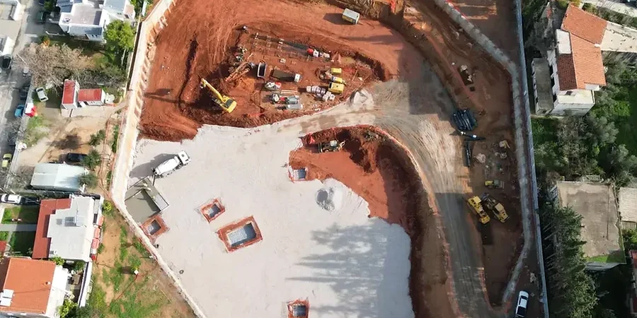
Brighton’s subsurface is a geological puzzle. The city sits on a perched aquifer within the White Chalk Subgroup, overlain by Pleistocene Coombe deposits and pockets of raised beach shingle—a legacy of the post-glacial Flandrian transgression. This isn’t London Clay. On the seafront, the chalk is heavily fractured with solution features; a few hundred metres inland, you hit dense flint bands that chew through cutter heads. Every deep excavation here, from basement car parks on North Street to storm attenuation shafts near the Marina, demands a design that accounts for steep chalk faces, variable groundwater perched on the clay-with-flints, and the risk of crown collapse in weathered zones. The team provides geotechnical design of deep excavations that starts with the British Geological Survey 1:10,000 digital map and gets refined by site-specific test pits logging and laboratory strength testing. No assumptions. Just Brighton ground truth.
Brighton's chalk isn't uniform—fracture spacing and flint band continuity dictate the excavation support design more than any textbook UCS value.